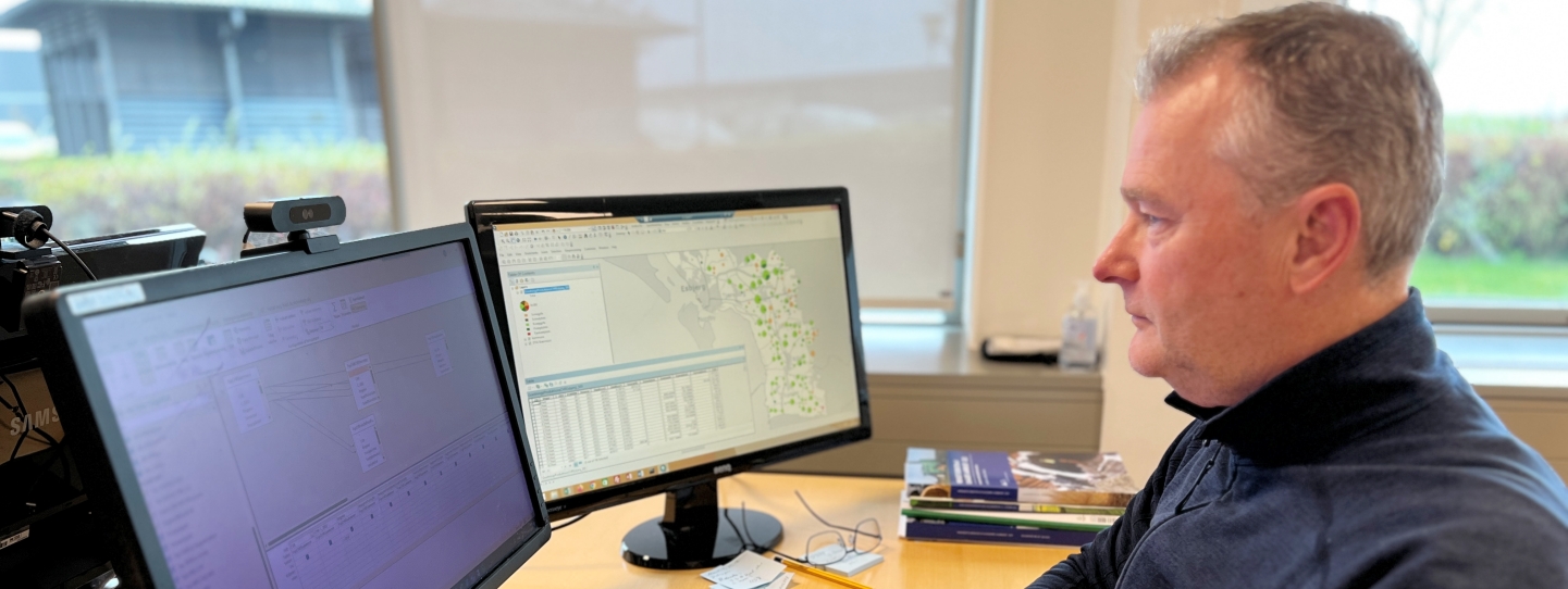
Photo: Holger Nehmdahl, CEO of ConTerra
Progress in the development of a HarvRESt online tool
As part of the HarvRESt-project an online tool is to be developed by ConTerra. This tool will map status, potentials and bottlenecks for RES (biogas) at farm level or any other geographical entity defined by the user.
At this stage farm specific data is collected, structured and a setup for continuous data retrieval is developed. The latter will ensure that models for calculations on nutrient balances, climate gas emissions etc., can be “fed” with mandatory farm specific data.
Although no user interface is available yet and functionality still is limited, ConTerra can provide stakeholders with needed data as the project progresses.
Hereby data quality, data handling and applied models are tested on route and ConTerra receives valuable feedback at an early stage.
A report for Esbjerg municipality is an example. It contains data on totals for farmyard manure, the status and potentials for biogas treated manure as well as calculated effects on the emission of climate gasses. Data at farm level is available in GIS-formats (Geografic Information System), meaning maps viewing spacial rendered data, enabling the stakeholders “climate coordinator” to use data in their continuous RES-planning.
